Currency: Swiss Franc (CHF) – note: Euros aren’t accepted in
Switzerland.
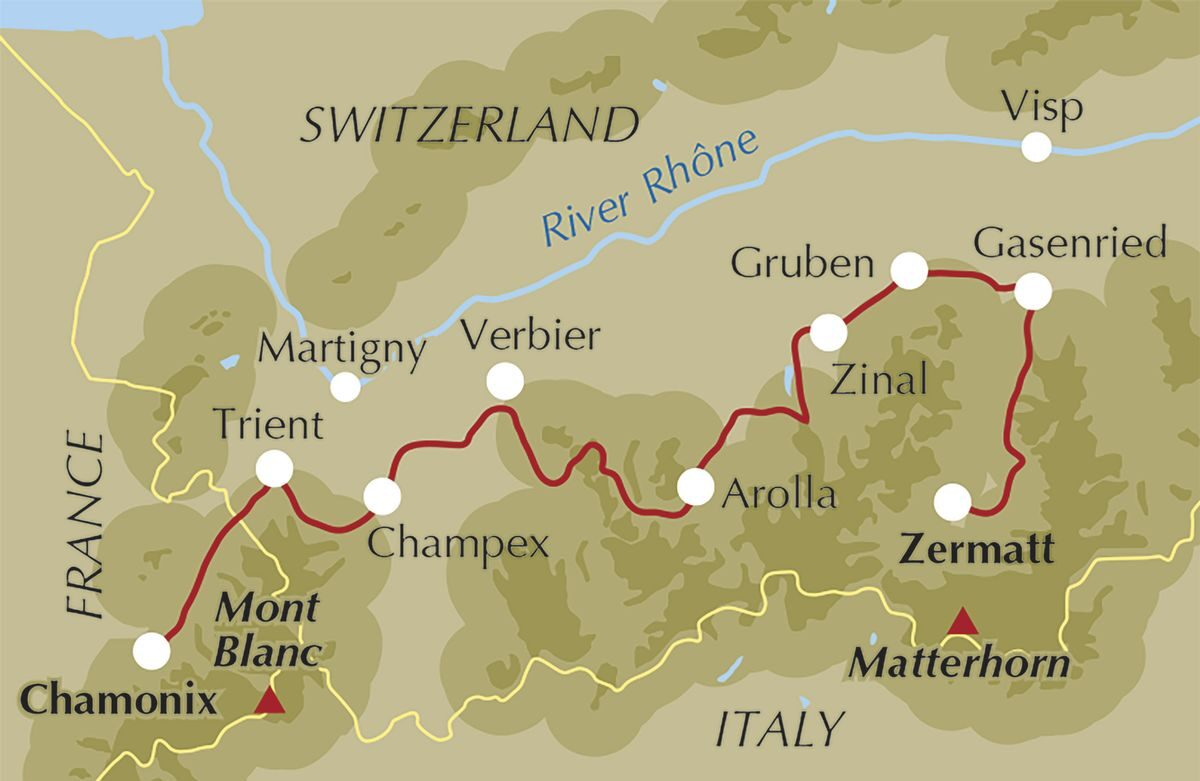
Itinerary: Geneva, Chamonix, Trient, Arpette Valley,
Verbier, Col de Roux, Lac Bleu, Val de Moiry, Augstbord Pass, Randa, Zermatt,
Geneva
The Haute Route itinerary above was set by the excellent Much Better Adventures travel company and included all accommodation (mountain huts, cabins and B&Bs), food (breakfast, lunch and dinner) and an excellent guide for the 10-day hike. It is classed as one of their hardest hikes (220km, 4/4 difficulty rating) as it involves daily 15-20km hikes over 1000m elevation gains on rugged terrain and on rarely hiked paths, so this is for people who like to spend their free time doing ‘type-2-fun’. Just to bear in mind: you’ll need to carry everything with you for the entire trip so be hyper-efficient with packing. The majority of the people on my tour packed 6-8kg of gear and I packed 14kg which was insane (and something I had to deal with later in the trip) so be mindful of what you take with you. All the accommodation we stayed in had showering facilities but you’ll need to take your hygiene stuff with you.
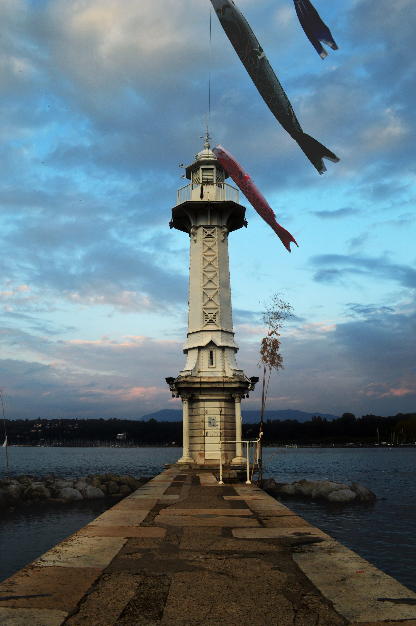
Lac Leman lighthouse
A flight to (and a night in) Geneva started the trip and I
spent the afternoon walking around the big Lac Leman at the heart of the city.
The next morning, I caught a train to Chamonix(£25, hourly, 3 hours)
but you can also get a bus
to the same destination which is somehow quicker and cheaper. The view isn’t as
good though. Chamonix is a small mountain town with excellent skiing in the
winter, mountain biking in the summer and when I was there; one of those
massive 100 mile runs that insane people do for ‘type-2 fun’ (again). We were
picked up by our guide at the Chamonix Sud bus station
and bundled on to a public bus heading to Argentière, 25 minutes north (get the
02
yellow lineto Argentiere - Gare SNCF and then walk 200m east along Rte du
Village, then onto Chem de la Moraine to the start of the walk).
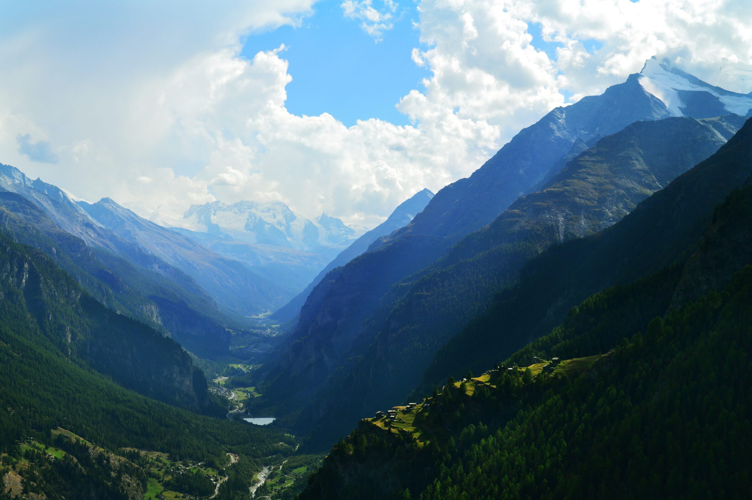
Day 1 - valley view
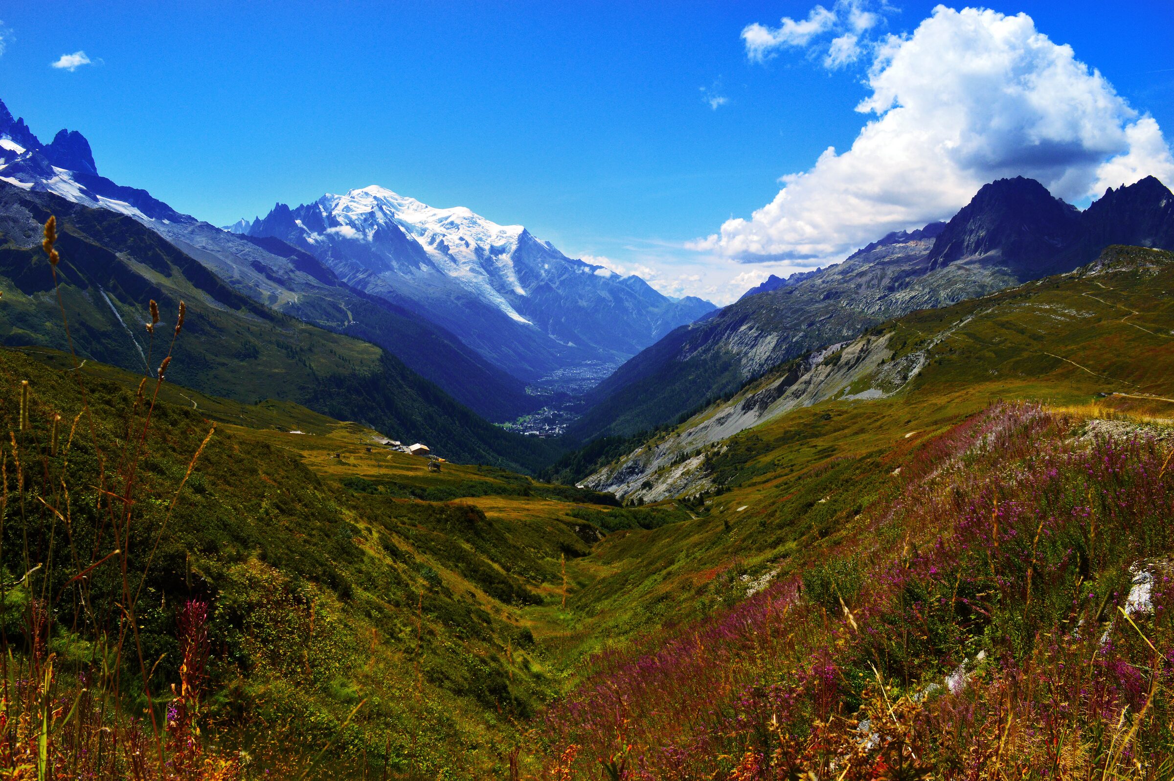
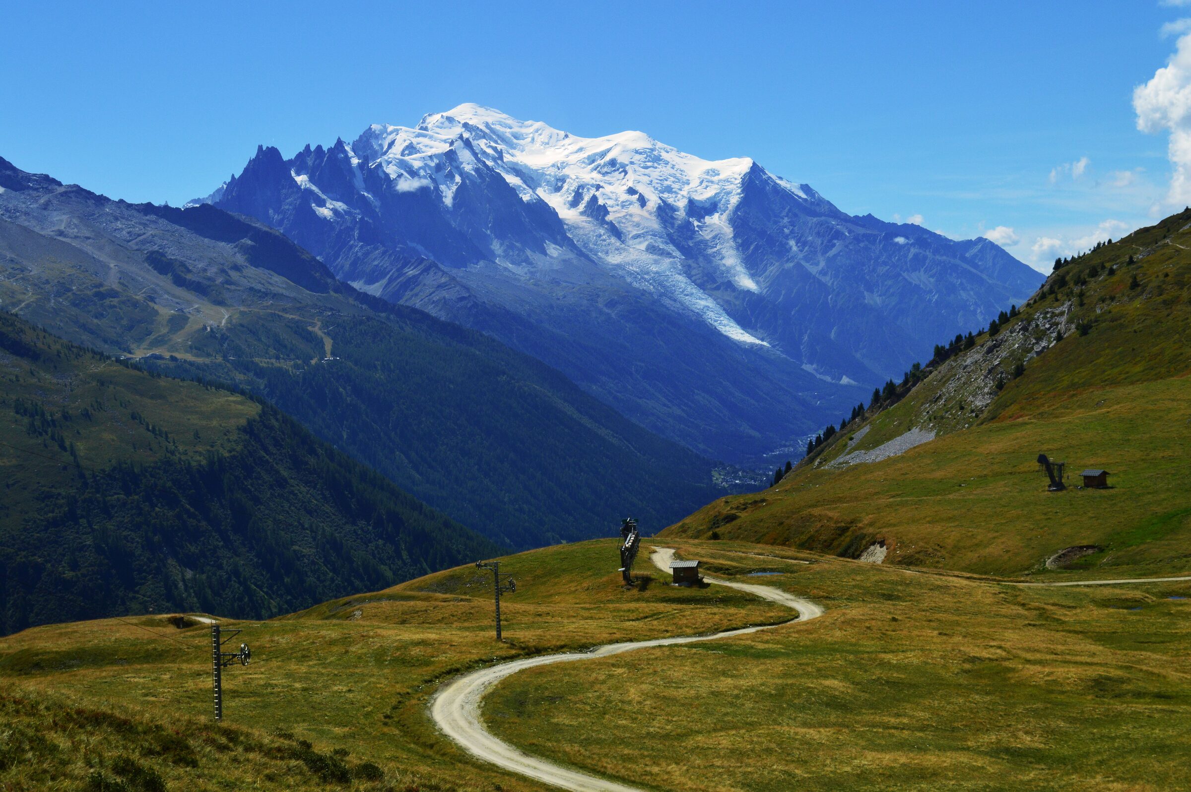
Day 1 (14km) starts with a ‘gentle’ 650m incline
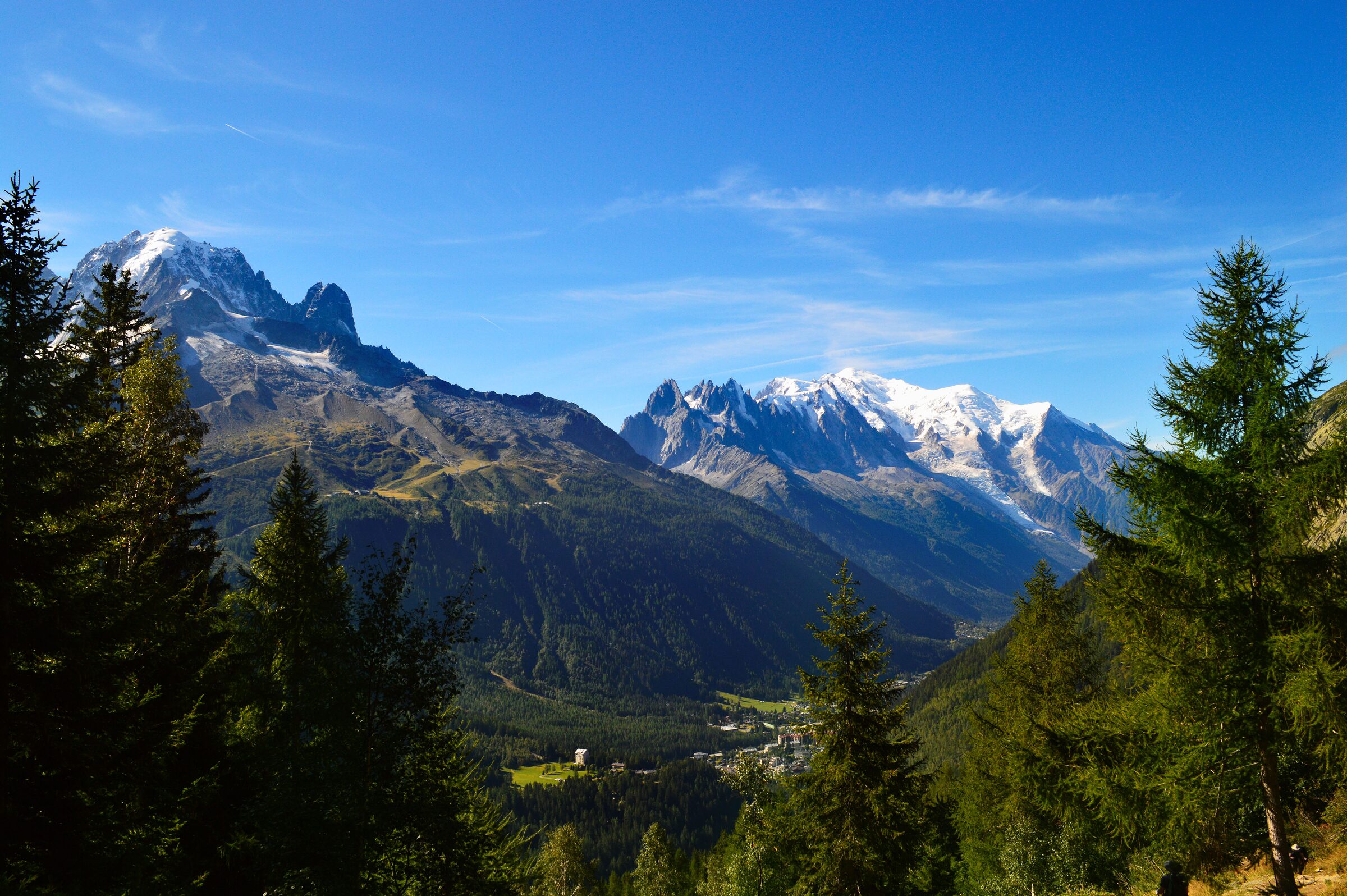
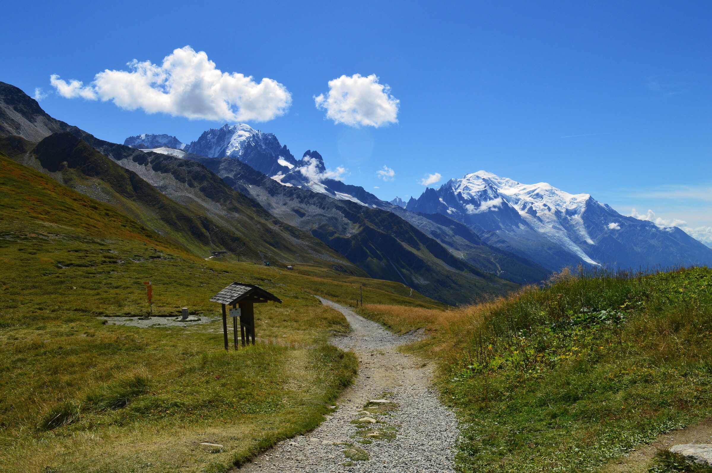
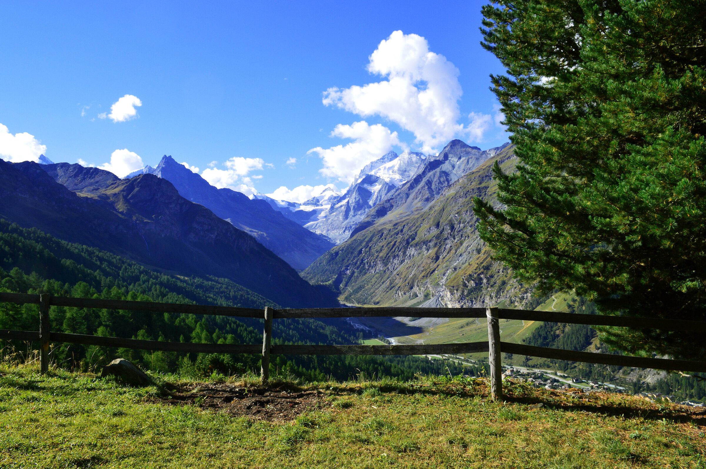
through forested hiking paths and exquisite sunshine overlooking the Chamonix
valley with views of Mont Blanc in the distance. The first summit (L'Aiguillette
des Posettes) was a challenge because of the lack of cloud or tree coverage
during the day but the views of the sun-drenched valley, white-peaked mountains
and lush-green-alpine forests was spectacular. At the highest point of the col
there was a mountain café built for tea and / or beers which helped with the
990m descent into the opposite side of the valley. We arrived in the small
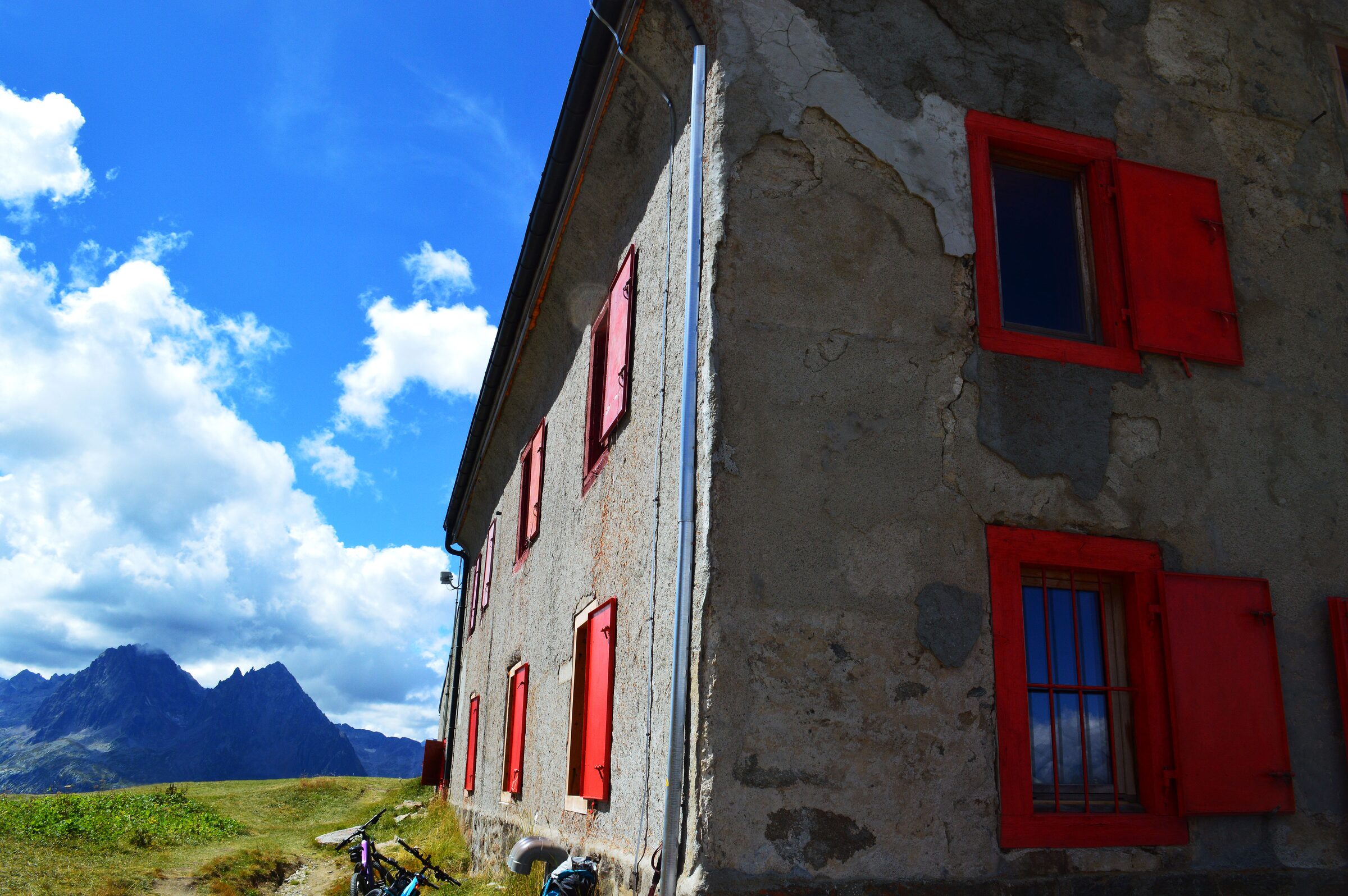
village of Trient and stayed in bunk beds at an alpine refuge.
Haute Route itinerary Day 1 - mountain café
Day 2 (15km) was the most challenging physical
activity I’ve ever completed. The hike ascends 1200m and then down 1200m in one
day, there is vert little in the way of trodden paths and you spend a lot of it
climbing up giant boulders on the way to the top of the Fenêtre d'Arpette col.
We were warned about this day beforehand but this was where I realised for the
first time: I was carrying too much weight in my backpack. It was an immense
challenge getting to the top by about 2pm but the views of the valleys and
glaciers (as you’d expect) were insane. Still, the morning part of the hike
along the river along tree-covered paths, and the afternoon descent from the
top of the col to the mountain resort in Champex-lac were lovely. An evening
dip in the cold Lac de Champex and a very well-earned night’s sleep in a hotel followed.
Day 1 - mountain view
Day 3 (15km) started with a 30km transfer to Verbier (which
isn’t on the standard Haute route but because this was a 10-day hike rather
than the usual 13-day trek this leg was cut out by the taxi) to get the gondola up to La Chaux (€13
one-way). Once at the top of the gondola run, we stopped for breakfast and
then headed out on our hike with views over the valleys below where ski lifts
and gondolas criss-crossed the landscape. The hike (1290m ascent, 600m descent)
took us past Petit Mont Fort Lake, up and over the Col de Prafleuri and through
the rocks of the ‘grand desert’ before we arrived at our first mountain hut of the trek.
A challenging hike but compared to day 2 it was a doddle.
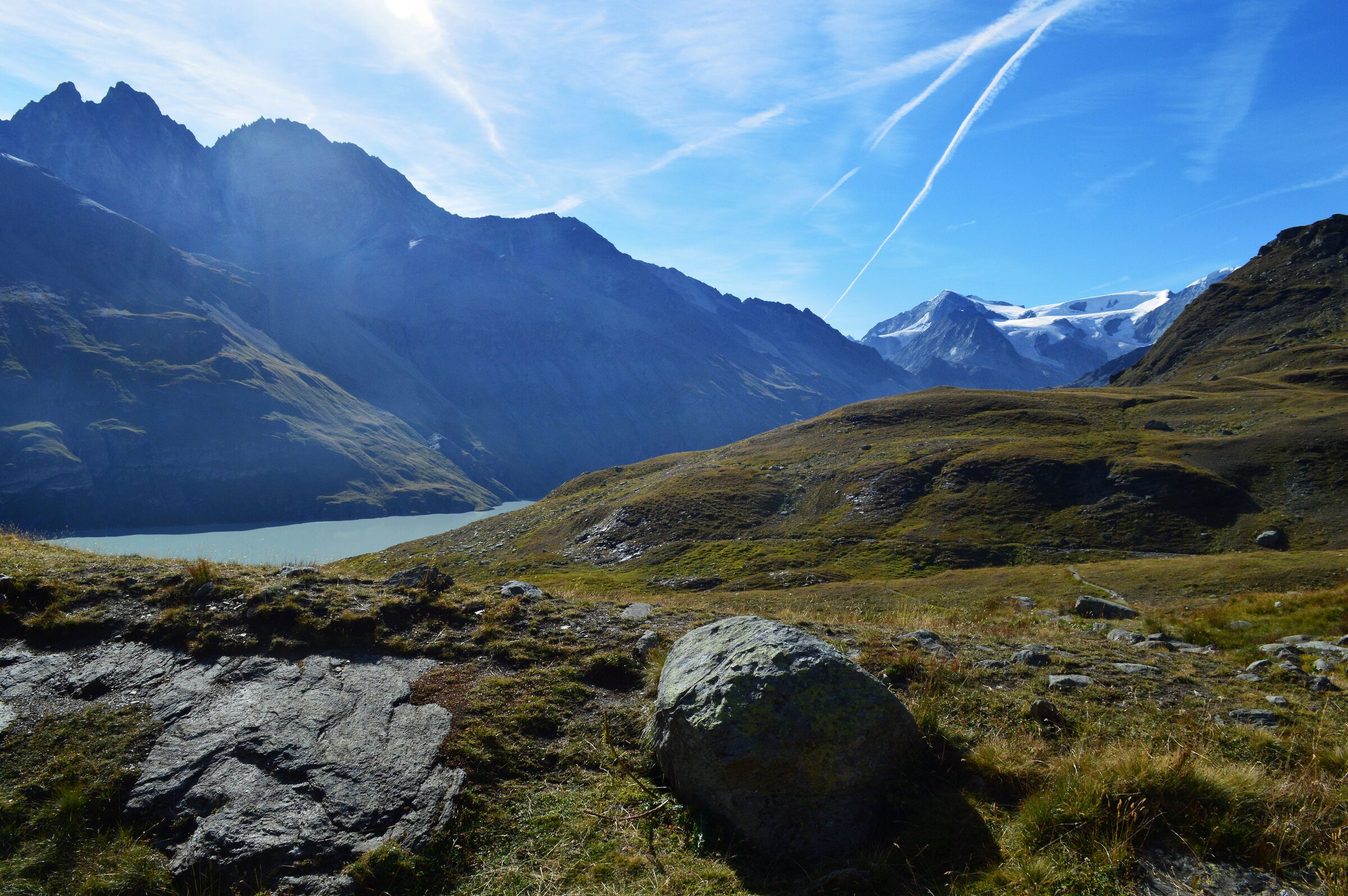
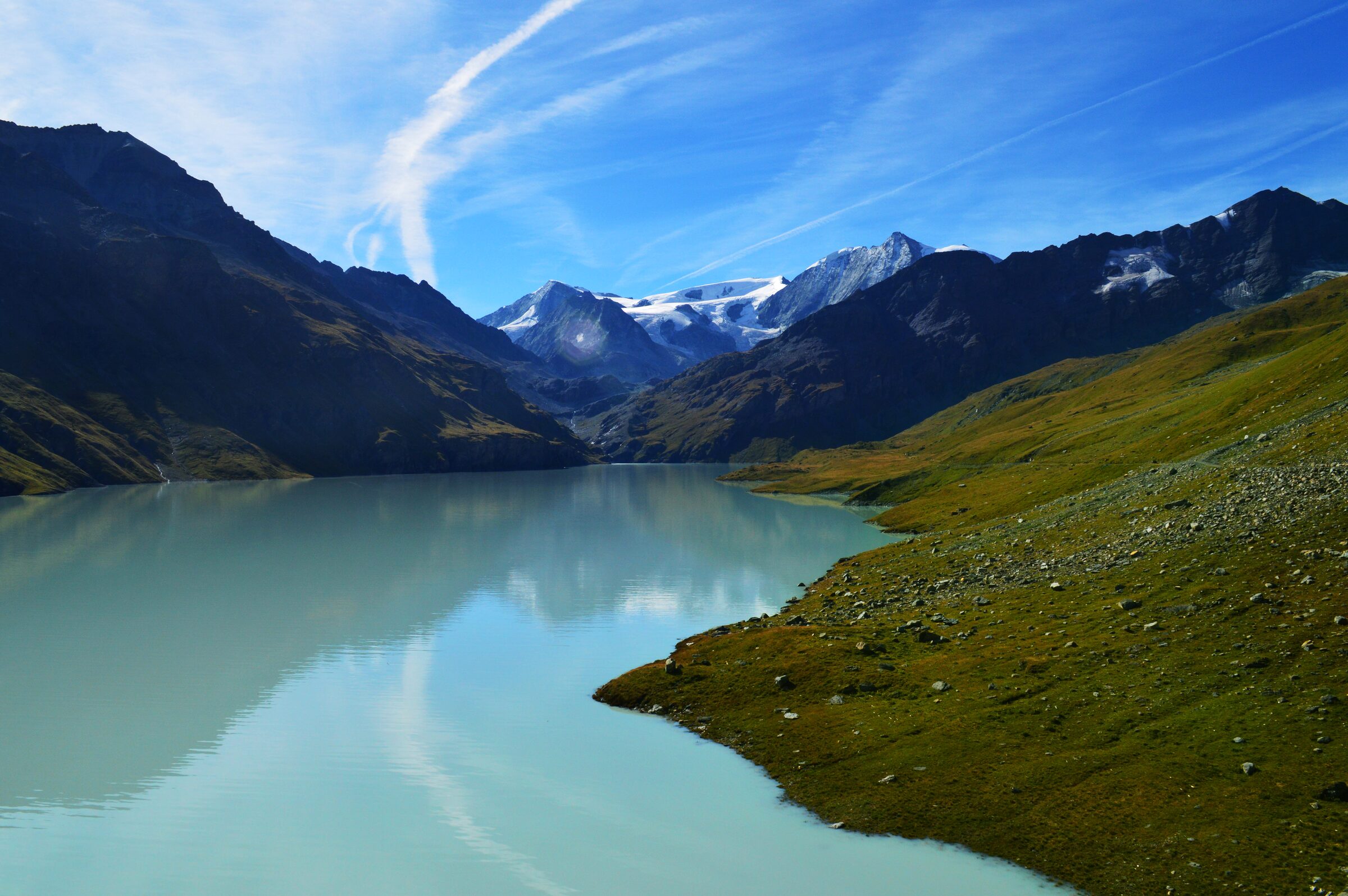
Day 4 - Lac des Dix viewDay 4 - Petit Mont Fort Lake
Day 4 (17km) involved a very early and immediate
ascent up to Col des Roux which provided the majority of the ascent for the day
(600m), which was a pleasant contrast to the other days considering we were at
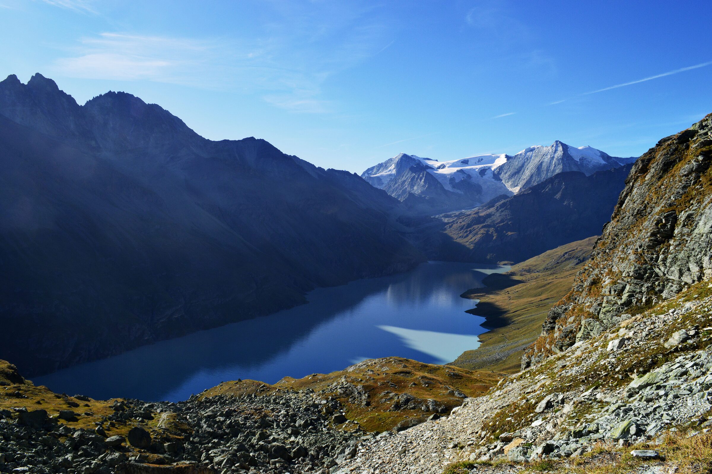
the top in cool, morning air rather than steaming hot afternoon sun. The view
from the top of this hike was the best of the rocky-col views as you could see
Lac des Dix for the first time down in the valley. The walk then descended
(1360m total) and followed the western shore of the lake southwards until we
reached the climb to Col de Reidmatten, another uphill task, this time with a
southern view of the lake. The day ended with a final descent into the tiny
village of Arolla and a stay in a lovely hotel. Here, I packed up
6kg of belongings I no longer needed with me and with help from the hotel
manager, posted a box of my stuff to my final night’s accommodation back in Zermatt. This meant the next day’s hike was considerably lighter!
Day 4 - Lac des DixDay 4 - Lac des Dix
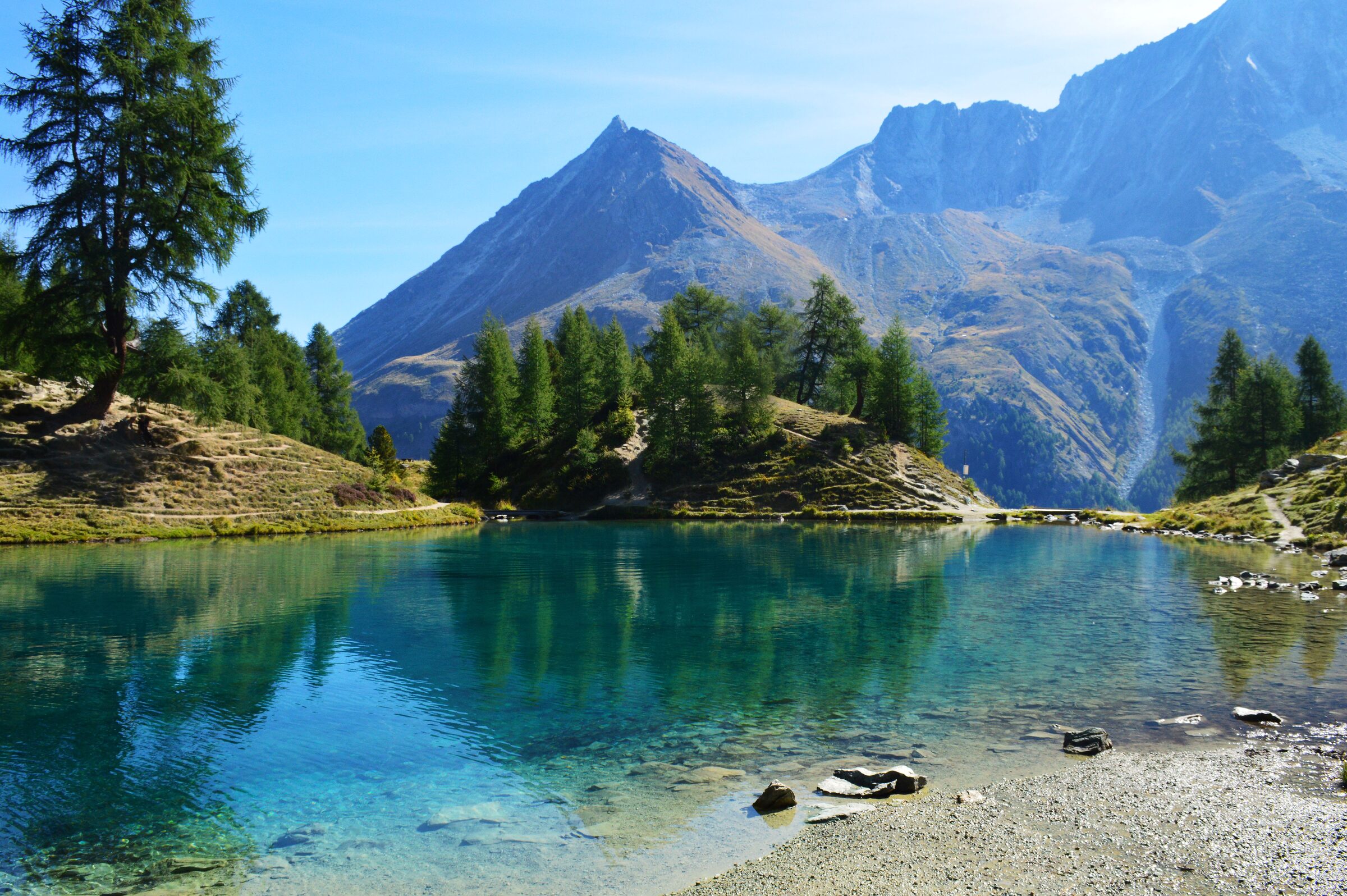
Day 5 (12km) saw an early start and an easy walk
through gorgeous alpine hiking routes with (only) 450m incline to confront. We
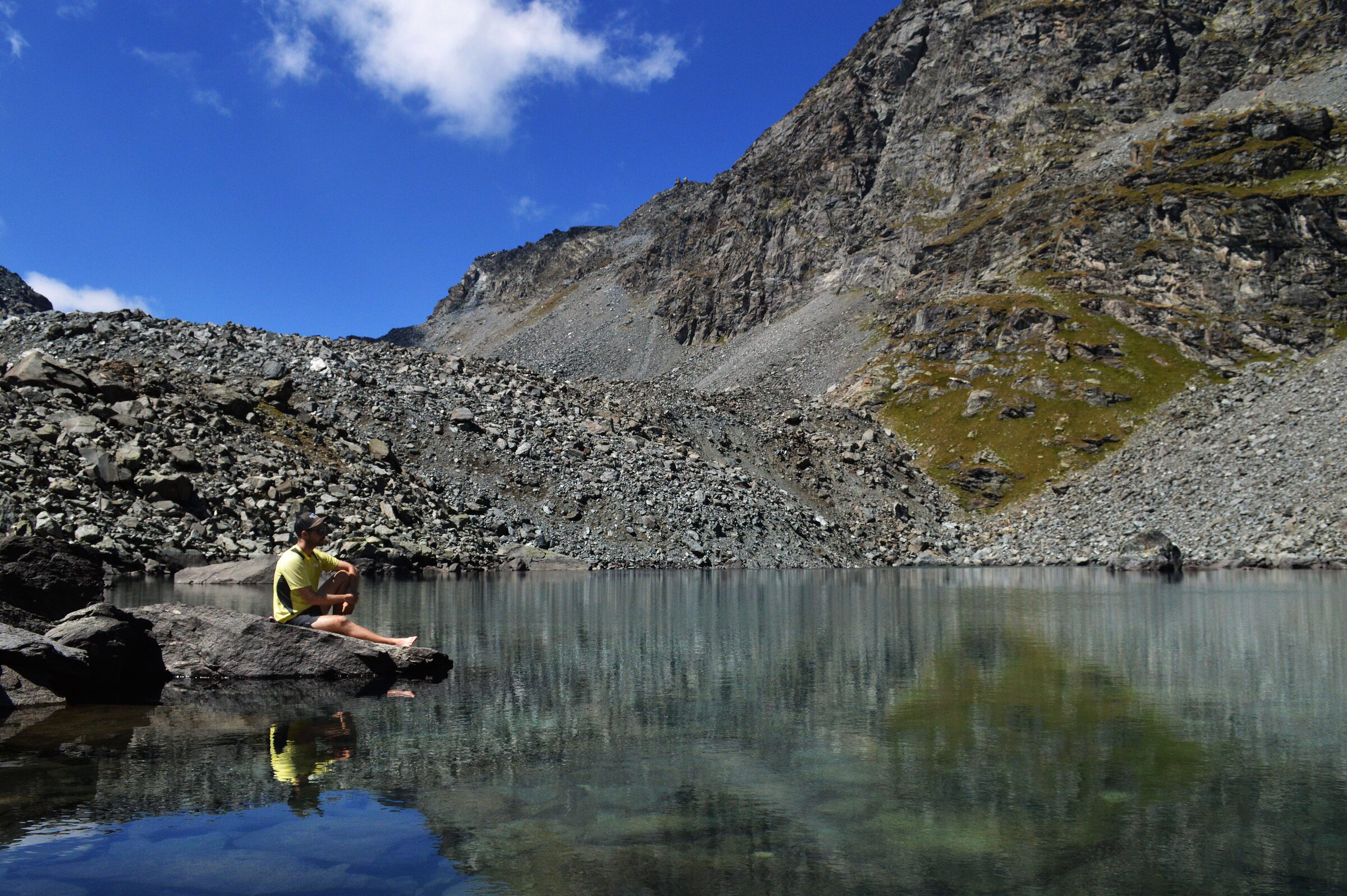
walked for a few hours before arriving and then spending 2 hours at Lac Bleu; a
staggeringly pretty, picture-postcard, glacially fed, incredibly cold,
mirror-like, bright-emerald-blue lake surrounded by trees and mountains galore.
I took a dip and screamed numerous times at the temperature. The hike continued
down another 750m through farmland to the village of La Sage where we stayed
the night at a hotel.
Day 5 - hikeDay 5 - Lac Bleu
Day 6 (18km) was supposed to be a gruelling day
hiking up 1800m and down 1000m but it began with a significant downpour so
after a few hours of hiking through the rain, we arrived at the Barrage des
Toulesdam and collectively decided to get a bus (route 455 to Zinal,
45mins) to our next hotel in Zinal, cutting the day short. Here, we went to a
local spa
(€22 entry) for a few hours to soak away the foot ache before preparing
for our next hiking day.
Day 6 - hike
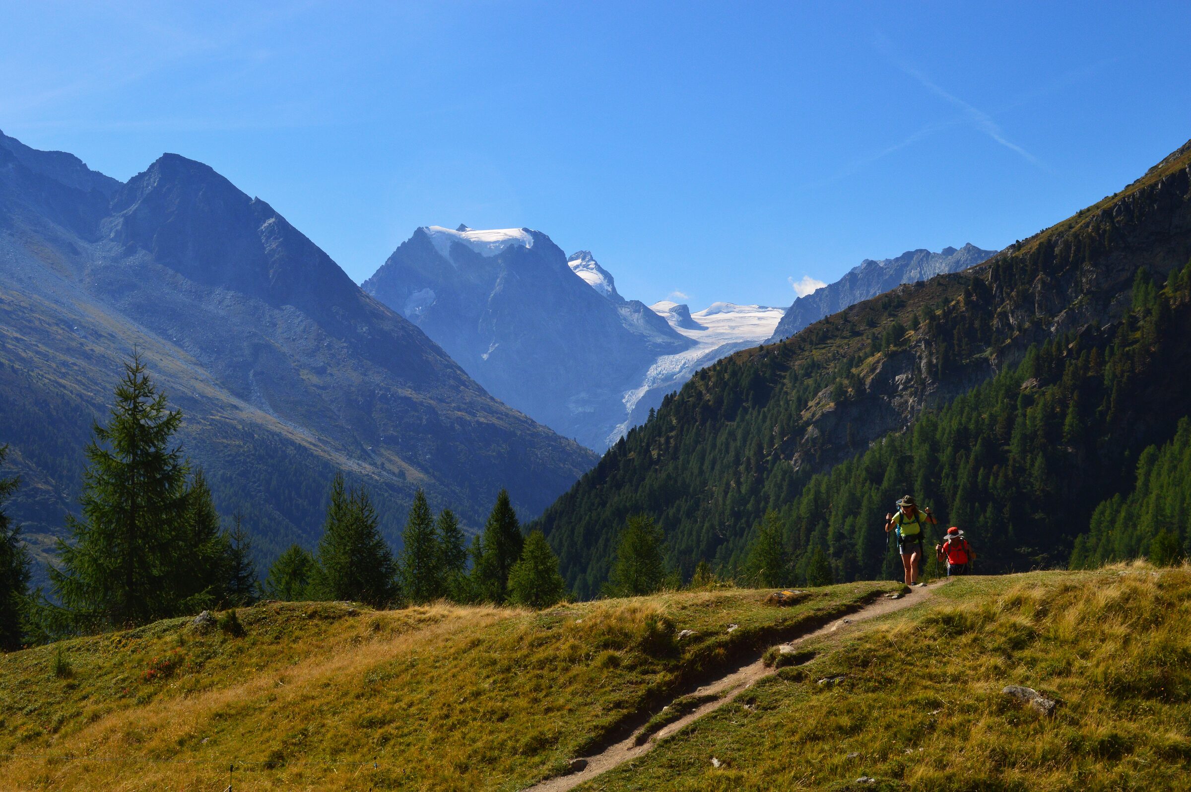
Day 7 (17km) centred around a lovely hike through
farmland and meadows overlooking the Meid Valley and despite the length and
height gain (1220m ascent), it was relatively easy under-foot. The hike meanders
through alpine forested areas before ended at the tiny village of Gruben,
crossing the French-speaking and German-speaking parts of Switzerland in the
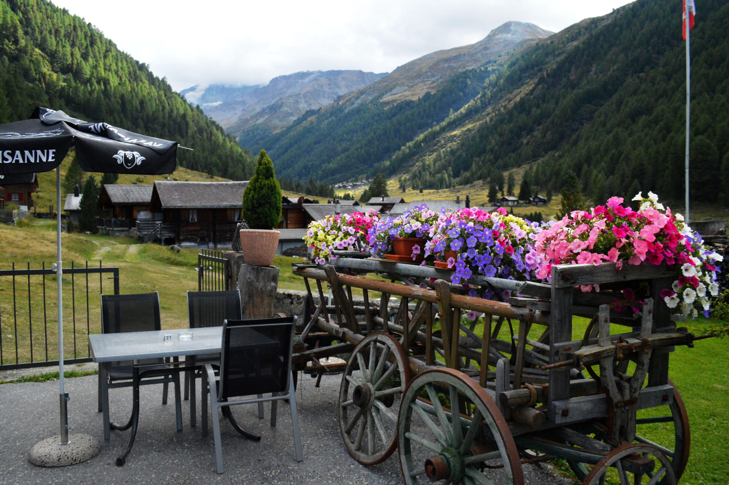
process. We stayed the night at the delightful Hotel Schwarzhorn with its
pretty floral displays overlooking the valley in the distance.
Day 7 - Hotel SchwarzhornDay 8 - valley viewDay 8 - mountains view
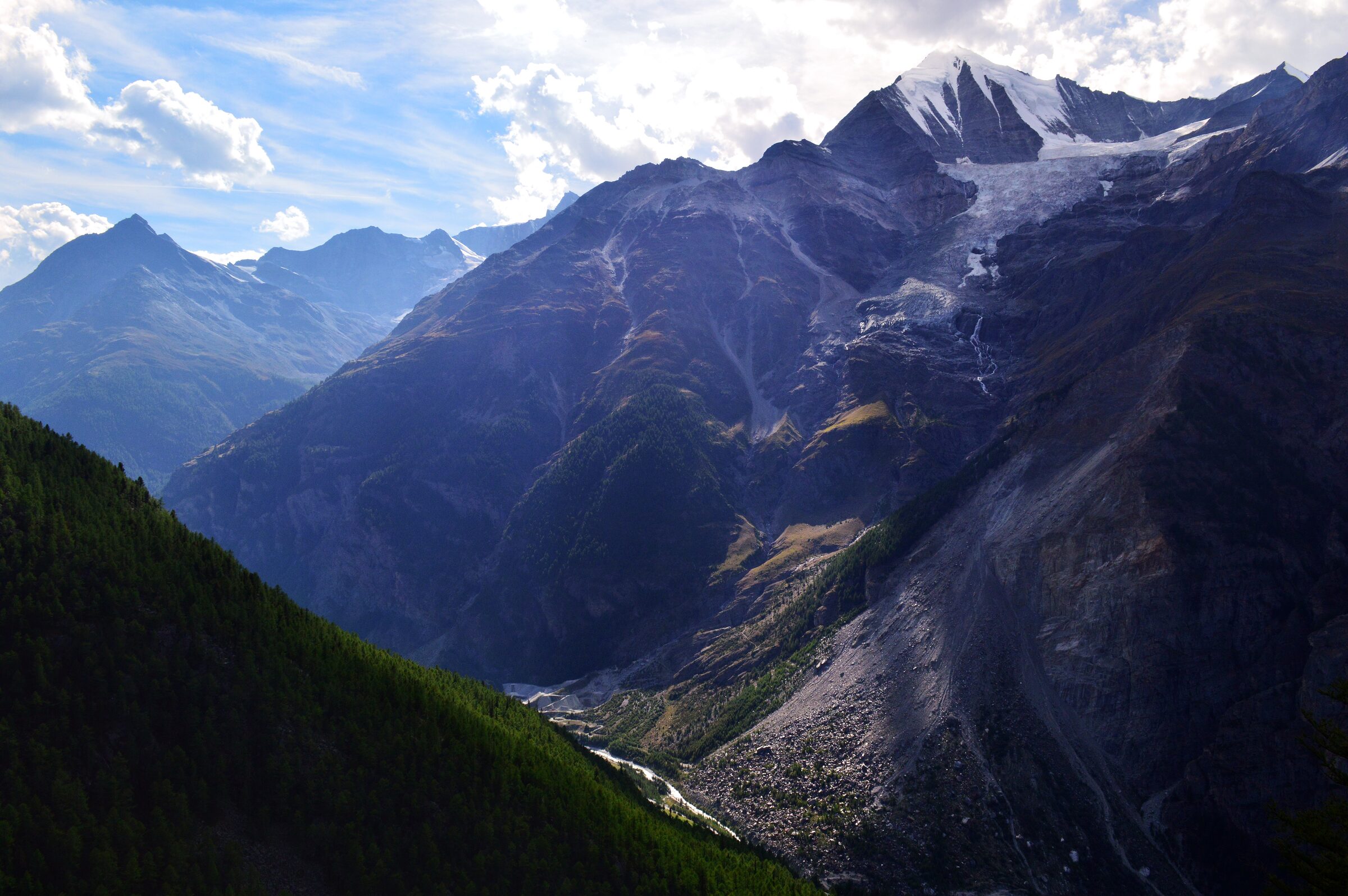
Day 8 (14km) involved a stunning walk up and over the
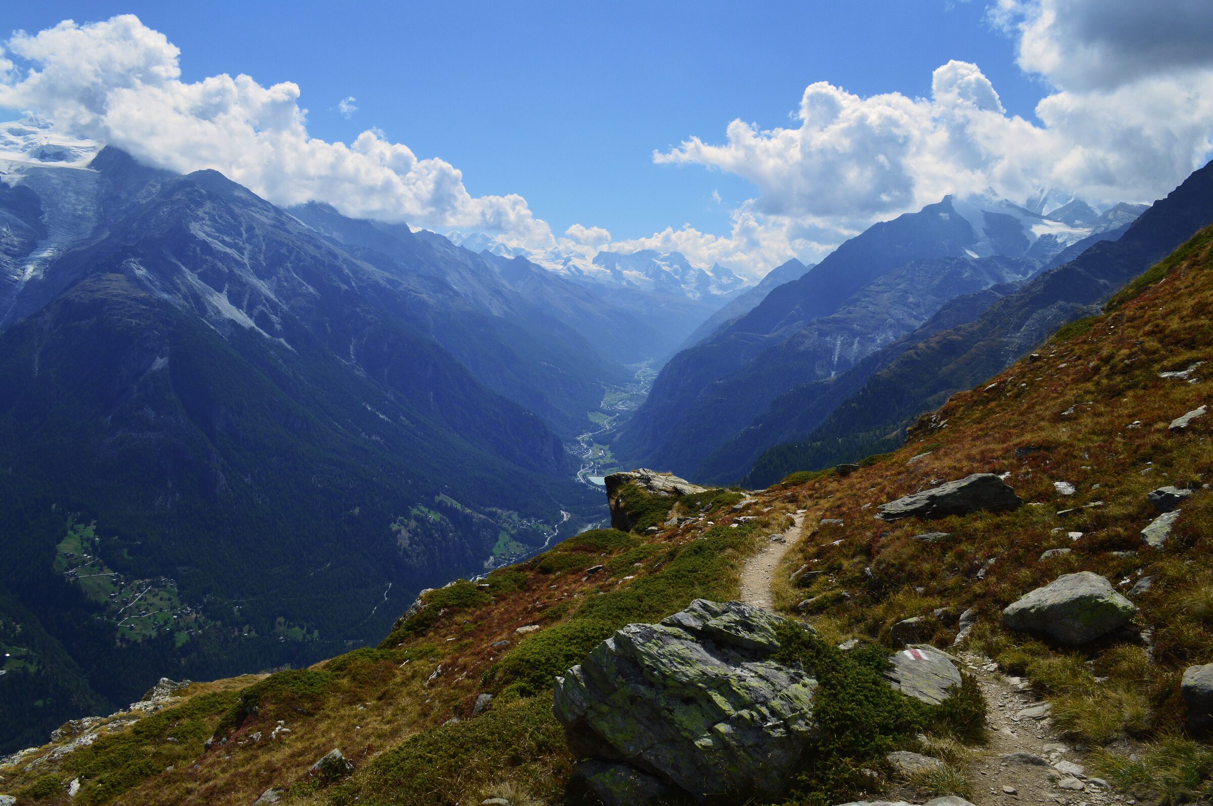
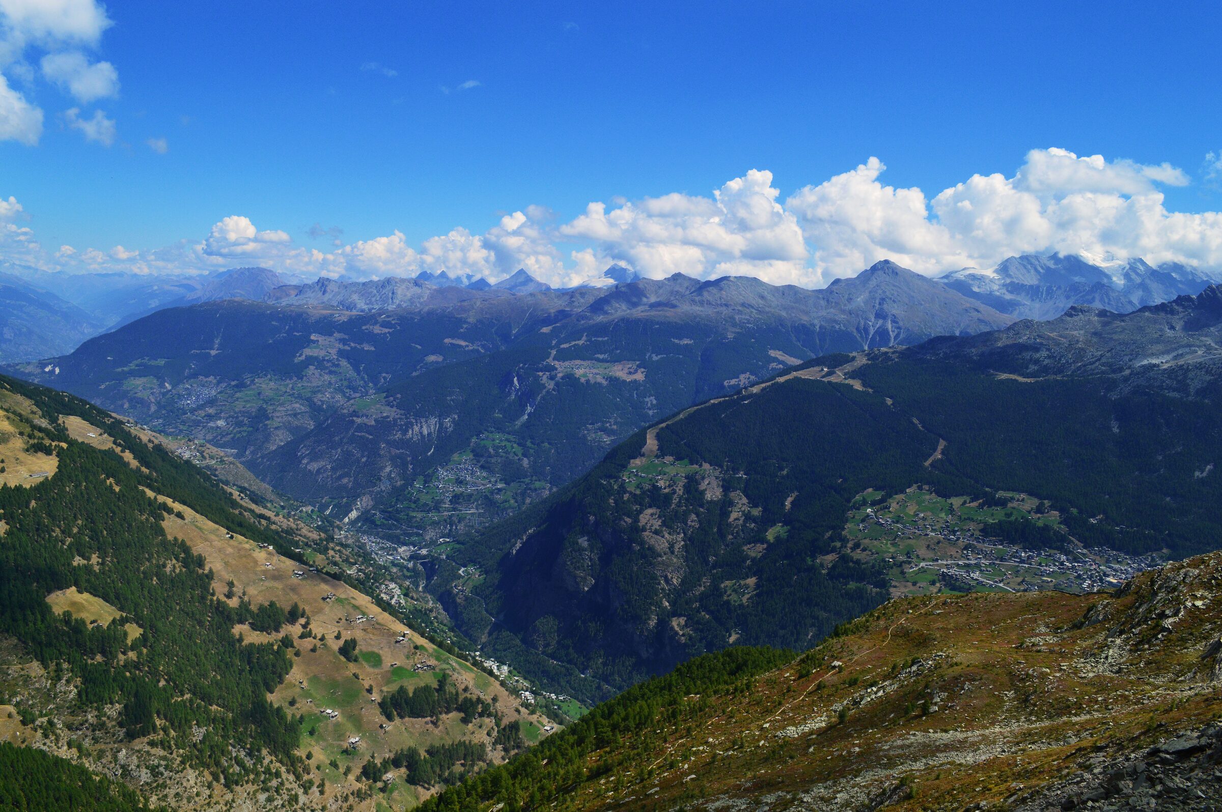
Matterhorn Valley, walking through the pine forests and over the Augstbord pass
with beautiful views up and down the valley. The walk ended early at the
stunning Jungeralp
restaurant and the tiny pond in the back garden where we drank a few beers
with feet in the cold water. We then descended the last part of the walk via
the heart-racing Seilbahnstation cable car (€5 each)which
carried us all the way down the valley (1942m elevation drop) and dropped us
off in St Niklaus before we walked to the nearby village of Grächen to the Chez Beni rooms for our
night’s stay.
Day 8 - valley view
Day 9 (15km) and a difficult start to the day,
including a challenging ascent needing ropes and chains to pull ourselves up
the tight and steep rock face. The hike follows the Europaweg trail for the
majority of the day where we saw miniature waterfalls and large mountain goats
along the track as well as stunning views of the surrounding mountains,
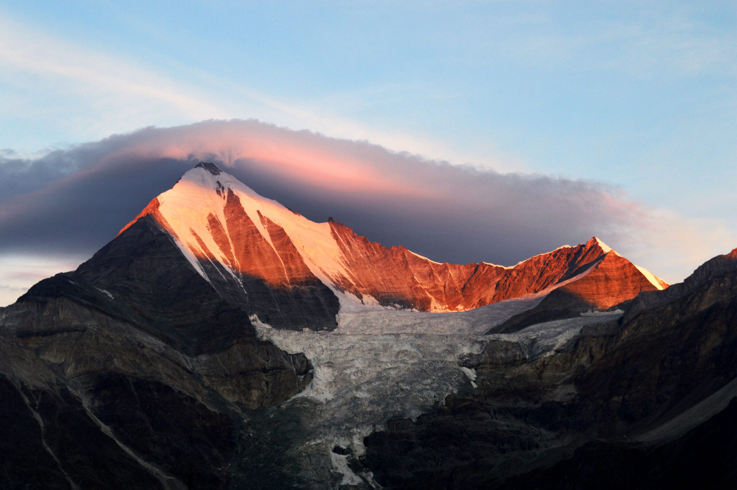
including the Weisshorn. We ended the day in the famous Europahütte mountain
refuge where we had 2-minute-long hot showers (timed by a clock) and
well-deserved beers whilst enjoying the sunset over the Weisshorn and our last
day sleeping in the mountains.
Day 9 - mountain viewDay 9 - sunset view
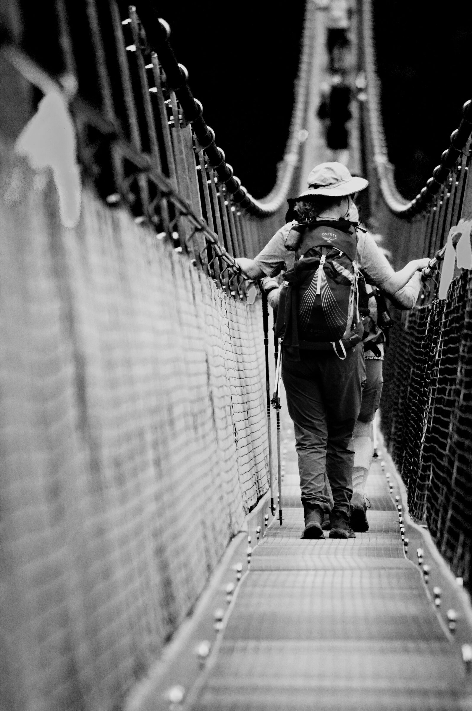
Day 10 (16km) saw the day start with a walk across
the 500m long Charles Kuonen suspension bridge (the longest in the alps) which
was slightly terrifying as it lurched and swung in the wind. The final day and
descent of the trip still included a 1100m ascent (as did every other day) which
slowly wound down the hillside to our final destination in Zermatt via the
villages of Randa and Täsch and the end of the incredibly 10-day hike. Zermatt
(pop 4,000) felt like a metropolis after nearly 2 weeks in the mountains, but
the group stayed together for an evening meal of Swiss fondue before saying our
goodbyes. I went to my accommodation to find that the posted 6kg of luggage
from a few days before had arrived safe and well.
Day 10 - bridge crossing
The trip, landscapes, food, accommodation, weather, guide
and company were phenomenal. You could arrange this trip yourself and maybe
save some money here and there but to have it all arranged for you means you
can just sit back, hike and enjoy the views. This particular trip removed the
first day hike from Chamonix and a few of the descents where we caught gondolas
or taxis to get us to the next step, meaning we didn’t do the full Haute Route hike,
but this one clocked in at 153km and although it was very challenging; it was
achievable. The entire trip was staggeringly beautiful and I’d say the best
landscapes in Europe. If you're interested in other hiking adventures, check out the Top 3 Hikes page. Use our advice or not, remember: it’s what you know,
not who you know.